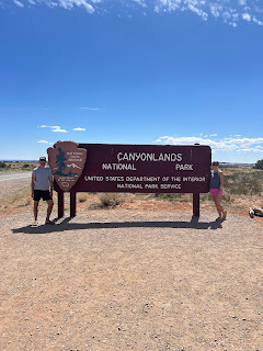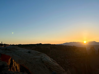
We got up early to get into the park for sunrise. The park is open 24 hrs a day, but the "gate" isn't manned until later in the day (7? 8?) so we did not need to pay a park entrance fee. We are still bitter that we bought the Interagency pass Interagency pass for $80 hahaha.
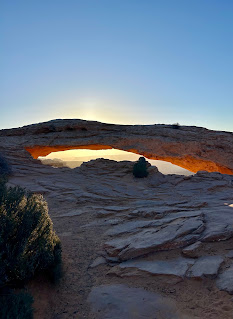
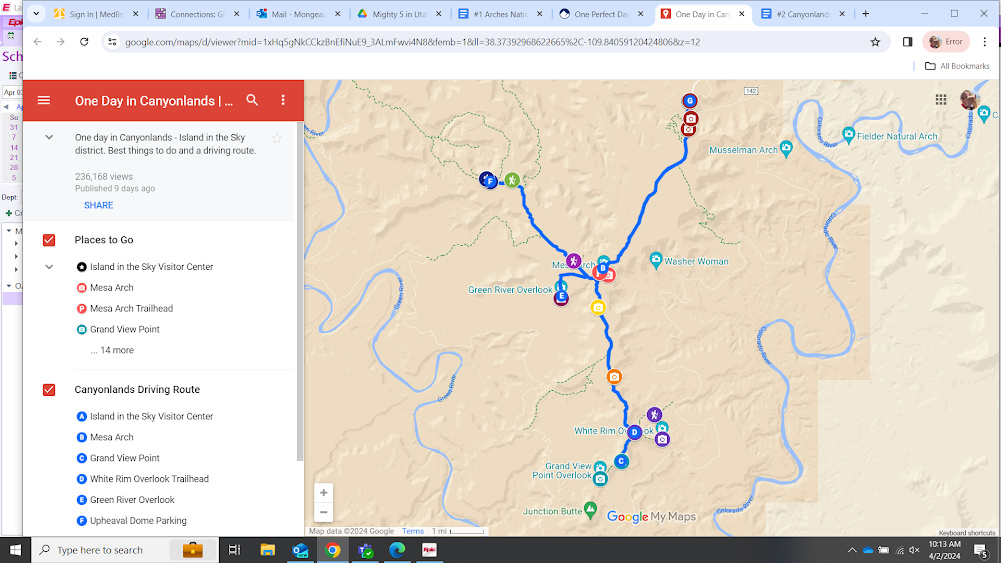
We went to Mesa Arch (B) for the sunrise. We parked, and had about a 5-10 min walk to get to the arch.
Holy ppl. So many crowded around right at the arch, to take a sunrise pic through/under the arch. A man got vocal, a couple times, asking everyone to step back 30+ feet to make a semi-circle around the arch, and let me tell you, some ppl got nasty! This one guy refused to move his tripod for a bit and said some bad words.
Eventually with enough peer-pressure, he moved back.
I didn't realize right away, but it made sense. Why look at the sunrise UNDER the arch, when you could move to the side and see this view anywhere?!
 |
| Under the arch |
 |
| To the side of the arch |
The actual view to see, is the arch itself. How it changes colors of orange and yellow and just GLOWS as the sunrise hits it.
Apparently, the trailhead explains to people where to congregate to watch appropriately.
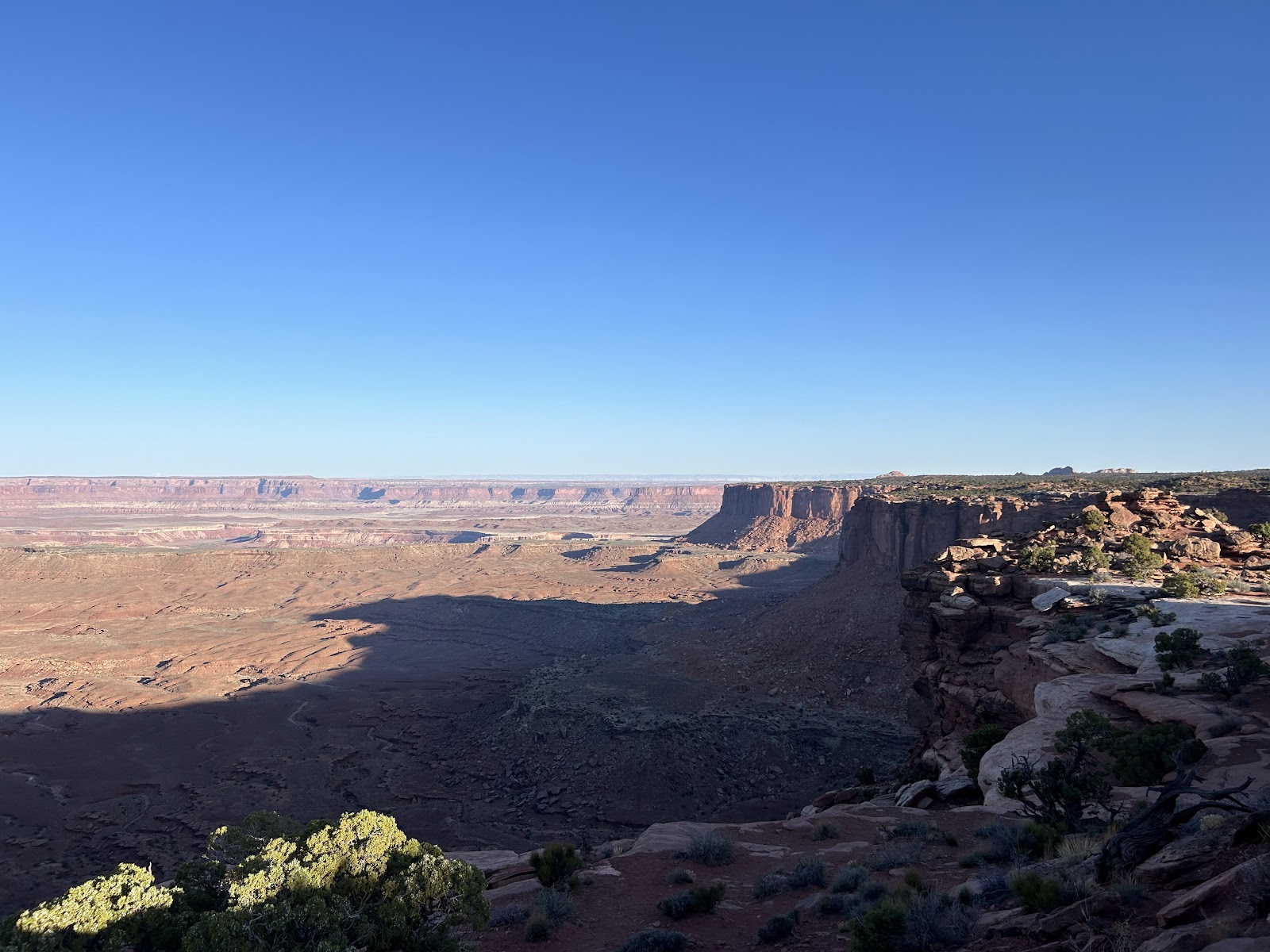
We then headed to the very end of the road, to jump out of the car and check out Grand View Point (C) a bit. We only did the viewpoint, to save our hiking for later.
Back in the car, to head back up the road, we hit Orange Cliffs Overlook on the L.
Back in the car to head north on Grand View Point Road. We turned right off at a little picnic area to park. The White Rim Overlook trail and the Gooseberry Trail share the same parking lot here. We said no to Gooseberry bc it is a 5.4 mile hike down into the rim and is the steepest hike in the district. It can take 3-5 hrs.
Instead, we chose to do the White Rim Overlook Trail (D). We picked White Rim over the Grand View Point Trail offered earlier in the day, bc they are very similar. White Rim is 1.8 miles round trip and takes about 1 hr. Totally flat.
Totally flat until you approach the end, where it's still flat, but more so finding your own way along rock.
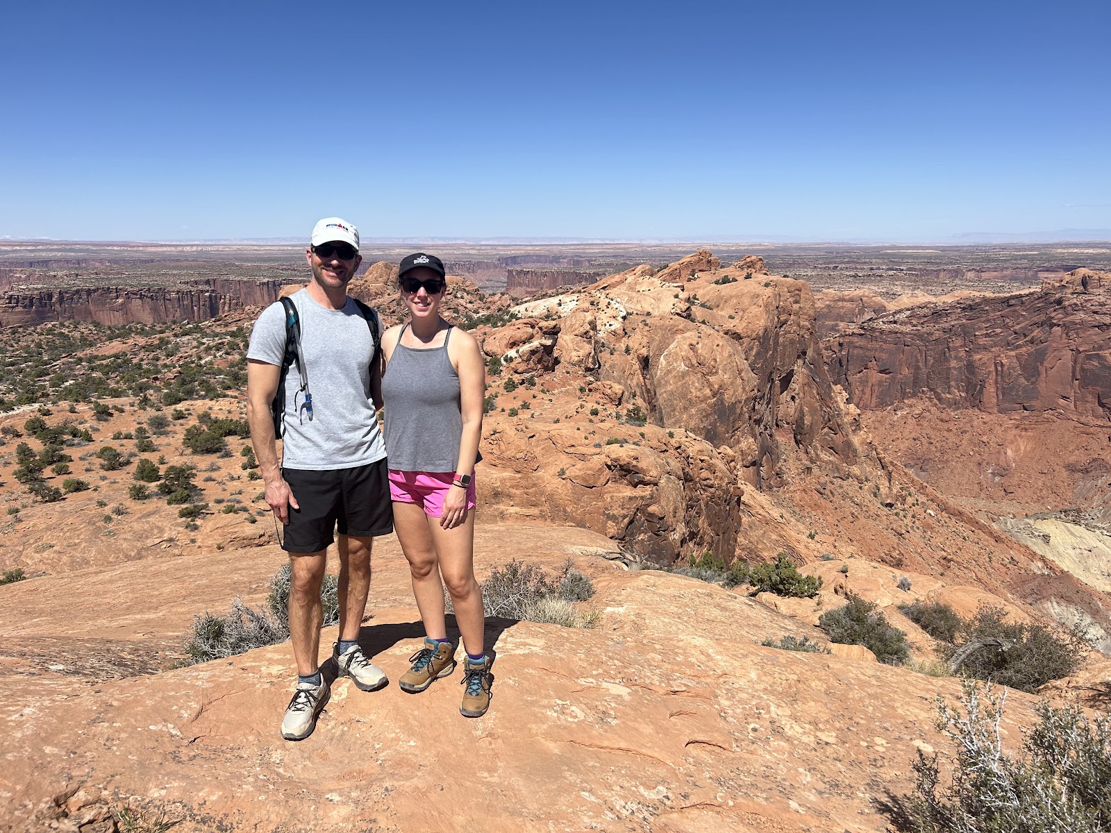
We made our way down to the "tip"of the trail, with canyons on either side. Really felt like we were walking out on the very edge.
We drove north again, and hit Buck Canyon Overlook. Neat view and takes about 5 min.
We kept driving north, and tuned off on a small road labeled "Candlestick Tower Overlook." Check for it on Google Maps, as there isn't really a sign from the road. Neat quick view.
We cont'd driving north and turned L onto Upheaval Dome Road, and another L onto Green River Overlook (E) to enjoy the view.
We then kept driving up Upheaval Dome (F) road until it ended at a parking lot. We hiked the 1/8 miles (takes 1-1.5 hours) to see the 2 viewpoints. The 2nd half of the hike & 2nd viewpoint was our favorite.
Upheaval Dome was likely formed by a meteorite hitting the earth.
By this time in the day, we were HOT. So we passed on hiking 2 more short hikes; Aztec Butte and Whale Rock.
- Whale Rock is a quick hike (1 mile; 30 min-1 hr)going up a slab of slickrock.
- Aztec Butte is 2 miles and takes a little over an hour, but you get to see ancient granaries. Ask me what those are. I don't know hahaha.
On the way out of the park, a must-stop is Shafer Trail Viewpoint and Shafer Canyon Viewpoint. Both on the R side of the road, right before the visitor center. Very cool to see the switchbacks!
You can drive up and down these, and ppl even BIKE them! Idk how. You don't need a permit to drive it, just a high-clearance SUV, which we weren't doing in our rental. It takes you back to Moab, gets close to the Colorado River, and passes a "Thelma and Louise" filming location.
Both overlooks are a short walk (I wore sandals) and the views are incredible.
Again, I was fascinated with the switchbacks, just sitting watching cars and bikes slowly zigzag up/down.
Next up: Dead Horse Point State Park


