Tuesday, February 27, 2024

Renting a Car in Curaçao

Renting a Car in Curaçao

This post is a more detailed overview of guidance on renting a car in Curaçao. To check out the main post, of how we spent a day in Curaçao, click here

Black is research that we did prior to our trip, and pink is what we learned from our experience.

Info for getting around: https://travel.usnews.com/Curacao/Getting_Around/

Website dedicated to renting cars in Curaçao: https://insearchofsarah.com/car-rental-curacao/

Another blog post recommended this rental company (Smart Wheels), as it is across from the cruise dock, and we couldn't agree more: https://smartwheelscuracao.com/

We booked an "Economy A/T" car (Kia Picanto) 
Cost: $126.30
I requested the time slot 930a-1800(6p), but as long as you have it back before they close, the price is the same; doesn't matter if it's 4 hrs vs 8 hrs.
Refund policy: no-refund policy if you cancel your booking less than 72 hours before your specified pick-up time

Pro-tips:
  • Book in advance! Booking ahead is no cheaper than booking the day-of, BUT! they tend to book up. Like we were checking in to get our vehicle, and the front desk worker shared with another lady they were sold out for the day.
  • Make sure you book an automatic, if that is what you want. Dude- I almost hit "checkout" before Matt was like "Make sure that's not manual babe"....CLOSE CALL!
  • Make sure you have it back by the time they close, island time! Not cruise ship time.
  • Download the app "MAPS.ME: Offline Maps, GPS Nav"
    • You can choose to pay for a "Tourist SIM 10GB" for $30. Basically this sim card allows your phone to work out of country. Instead of turning our "out of country roaming" on on our phones (Verizon charges $10 a day with our phone plan), we used the app Maps.ME which acts as a gps to navigate the island, without the need for cellular data or wifi. Make sure to download the map of the island ahead of time (the app gives you so many free downloads). It worked wonderfully providing turn-by-turn directions. The same dad in the car next to us planned on winging it. When we told him about the app, his response was "well the islands not THAT big is it? We won't get lost" hahah good luck buddy.
  • Take pictures of the entire car, inside and out, before pickup and after drop-off. This was a no-brainer for us, as we use Turo a lot, but there was a dad picking up a car for his family the same time we were, and he saw us doing the walk around taking pics and goes "ohhh that's a good idea." hahha duh dude. Walk around the whole car, taking pics of each section of the car, with extra attention to problem areas (scratches or bumps) to show it was like that BEFORE you drove it off the lot. Take pics of the floormats, seats, odometer reading, inside of doors, etc. It's worth the time. Do the same thing when you return the car, before you pass off the keys.

The Cruise terminal is gate guarded. You need to show your sailing pass to get in and out, both walking and driving. So have it handy. Not in your bag in the trunk of your car :) :(

We prepaid a flat-fee ($35) to be able to return our rental on whatever level of gas. This negated the need to refill it to full before returning it. If I had a do-over, I would skip this. There are gas stations around Curacao, even one across from the cruise port, on Pater Euwensweg, right across from the Mangrove Beach Corendon Resort. They take cash only (local currency (NAF) and USD accepted. Regular gas is the yellow handle.


The reason I would say refill the gas on your own, is because we drove around the island all day, and the gas gage needle BARELY dropped. Maybe worth it if you have the car a week? But we barely used anything. AND! check this out:

"Fuel has to be returned at the same level as received. If not, these are the prices per fuel gauge line excluding tax:" Economy: USD $15.00

We didn't even hit one fuel gauge line, so we could have gotten away with paying a fee of $15 instead of $35. Im a penny pincher when it comes to stuff like this, but if you like peace of mine, just pay the $35 flat rate.


Get the full insurance. It's worth it. You don't want to get stranded with a flat tire and miss getting back to the boat in time.


Theft Protection Reduction (TPR) = $2.50 Day CDW Zero – USD $0 financial responsibility (CDWZ) = $22.50 Day Additional Add-on & Services: 24/7 Roadside Assistance = $3.00 Day


They drive on the RIGHT side of the road, so we luckily didn't have a learning curve with this, which was nice with all the round-abouts.


I felt very safe driving around Curaçao and exploring on our own. Now our 3rd and 4th stop in the DR... that's a diff story hahaha, but we LOVED Curaçao.

Sunday, February 18, 2024

Mt Tammany (Delaware Water Gap)

 Mt Tammany


This is a snippet from a longer blog post I created, about a weekend trip to the Poconos for Matt's birthday. Included is an Airbnb we rec, wineries, places to eat, and 4 hikes. Here is the original blog post.


1st hike: Raymondskills Falls

2nd hike: Hackers Falls

3rd hike: Bushkill Falls

4th hike: Mt Tammany


Black is research done prior to the trip; purple is what we learned from our trip.


Mount Tammany Trail (11 min from airbnb)


"This is one of the most popular and rewarding hikes in the area. It offers two primary routes: the Red Dot Trail (steep and direct) and the Blue Dot Trail (a bit longer but less steep). Both trails lead to the summit of Mount Tammany, providing breathtaking views of the Delaware Water Gap, the river, and the surrounding mountains."


Duration: 2 to 3 hours
Distance: 3.5 miles (5.6 kilometers) long round trip when taking the Red Dot Trail to the summit and returning via the Blue Dot Trail = this is the route we did. The Red Dot Trail is the steeper and more direct route to the summit, while the Blue Dot Trail offers a slightly longer but less steep descent.

We started with the red trail, to do the rock scrambles going up hill; shorter hike, but harder. 

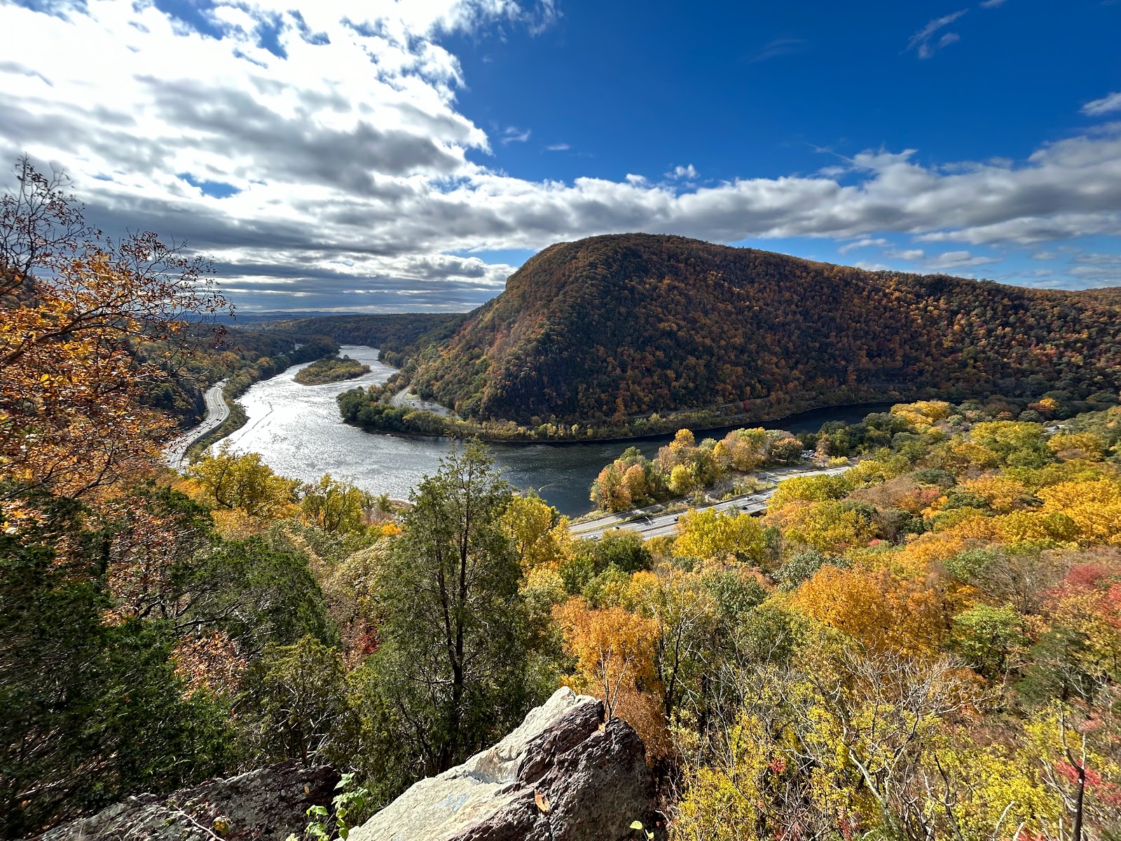
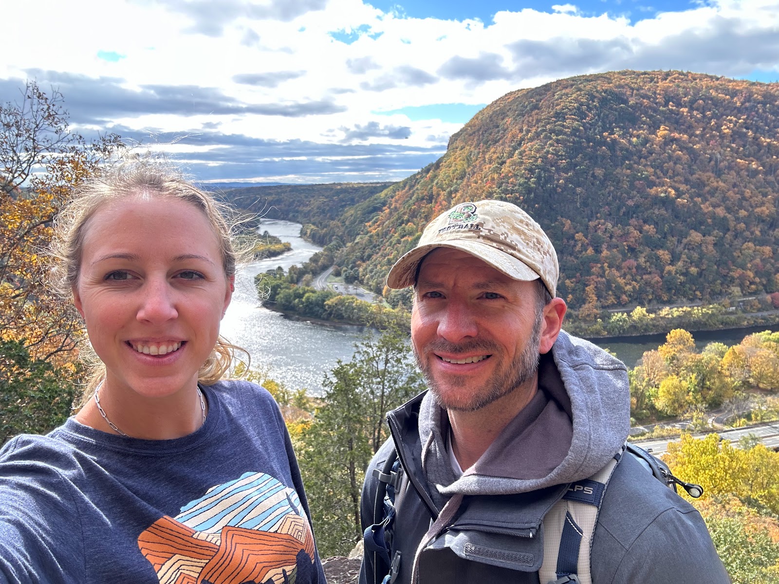
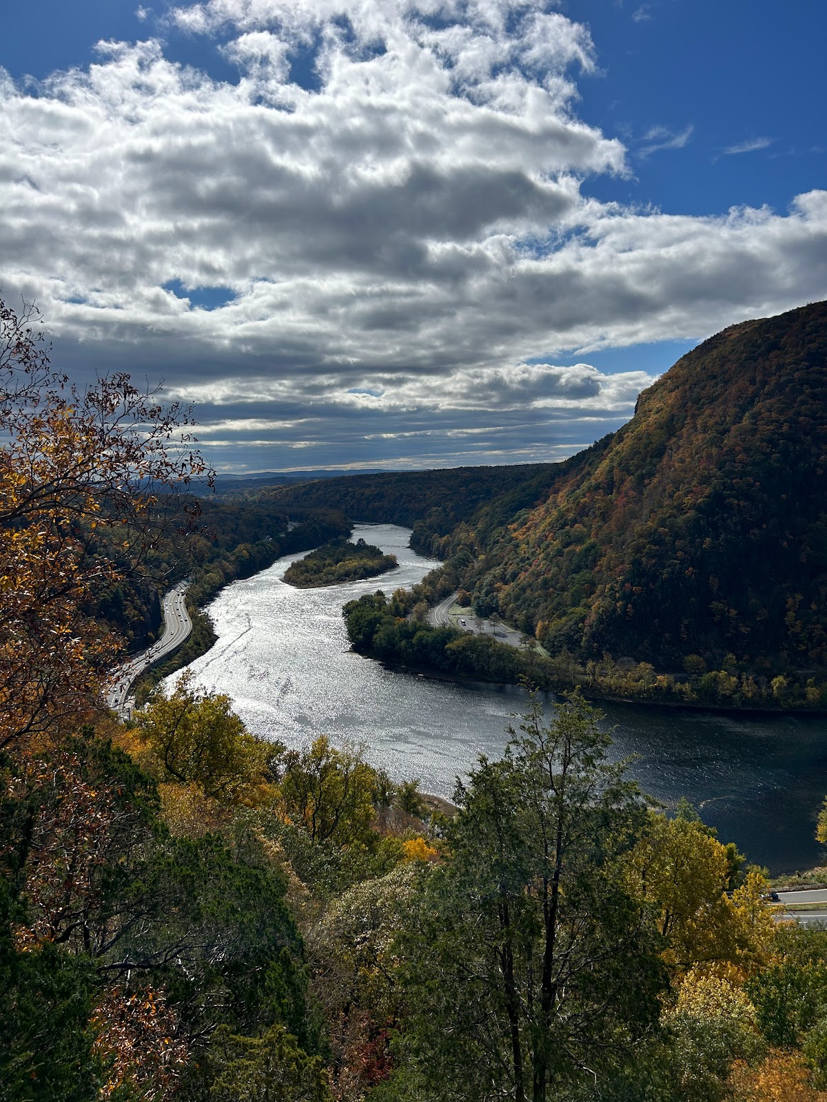
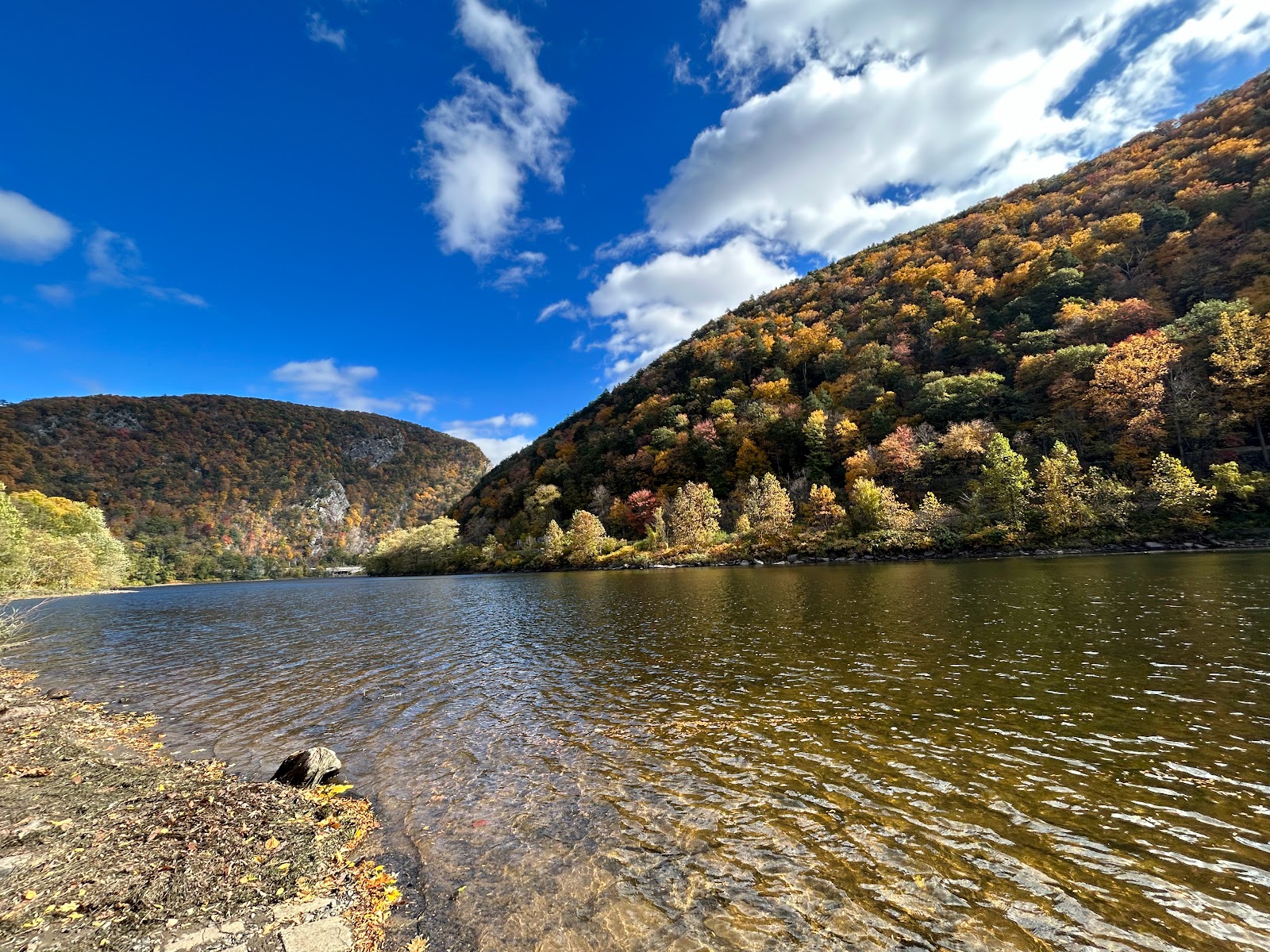
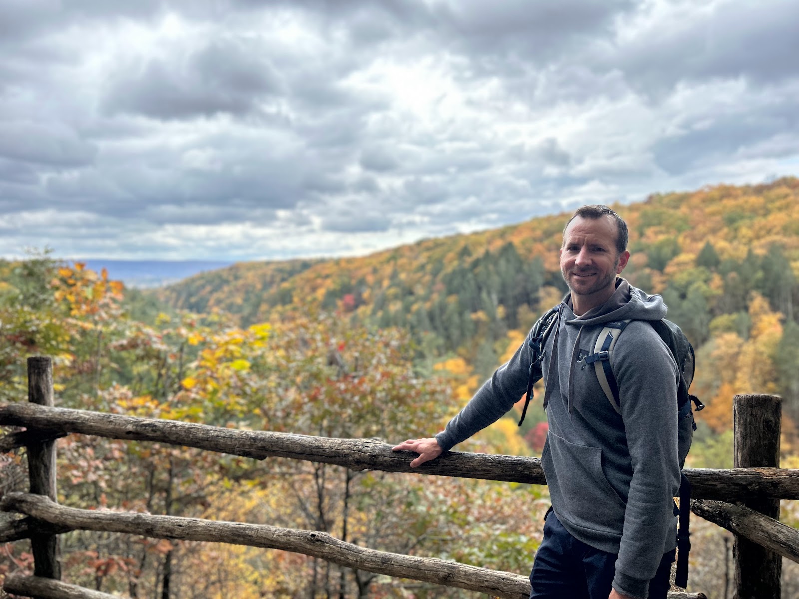
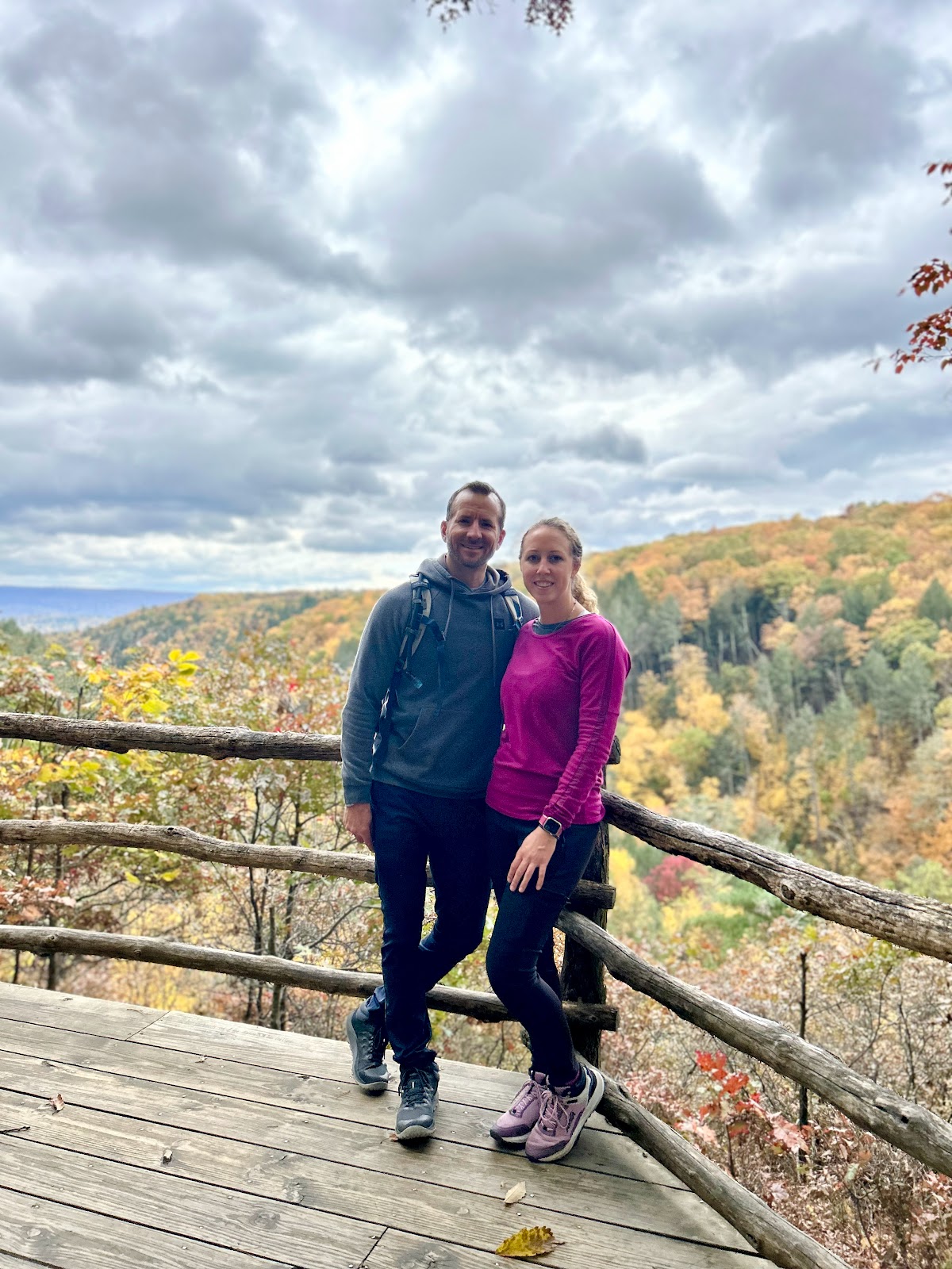
One of my fav views was on this red trail, before we even got to the summit. Got some great pics! 


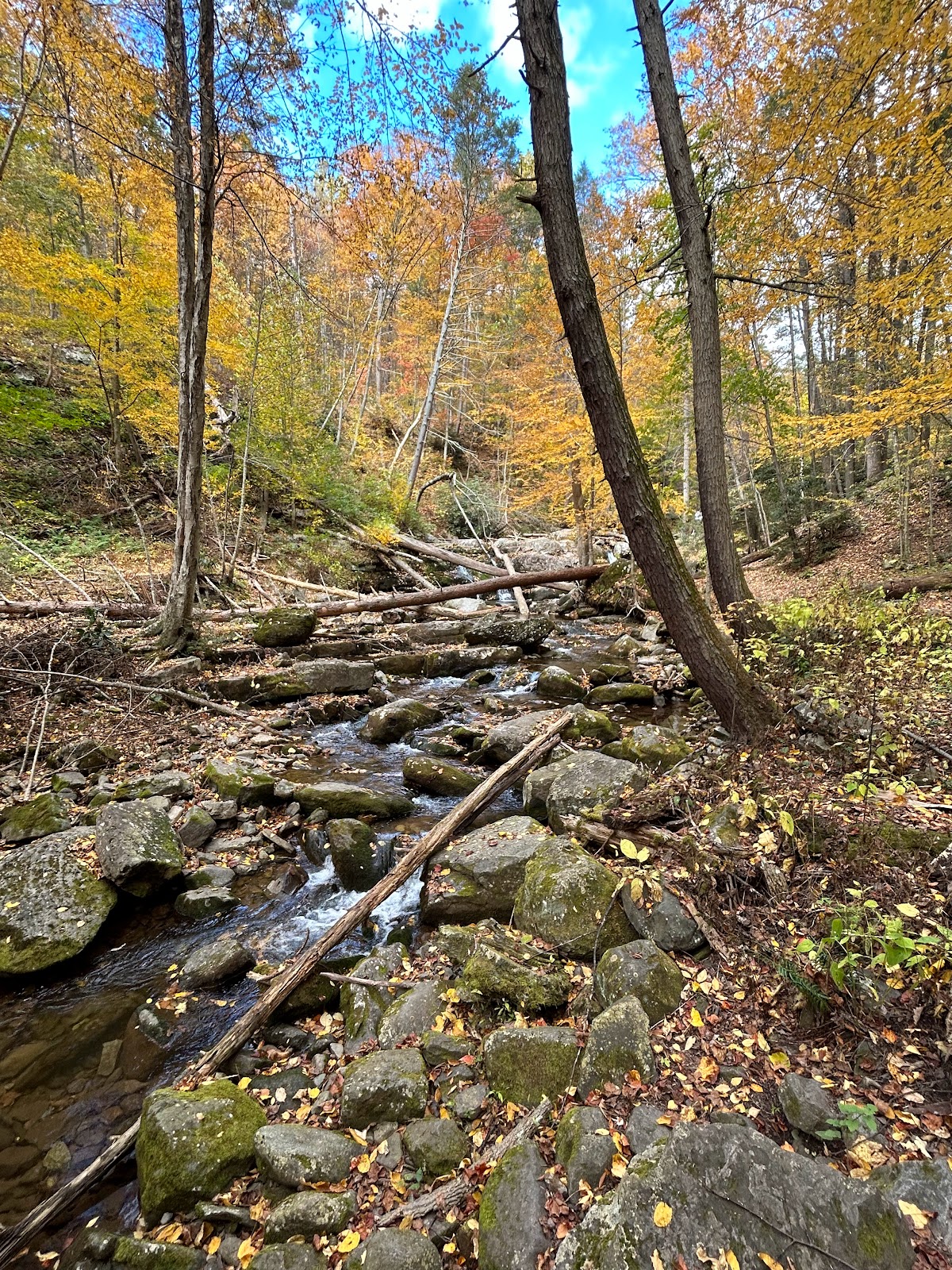
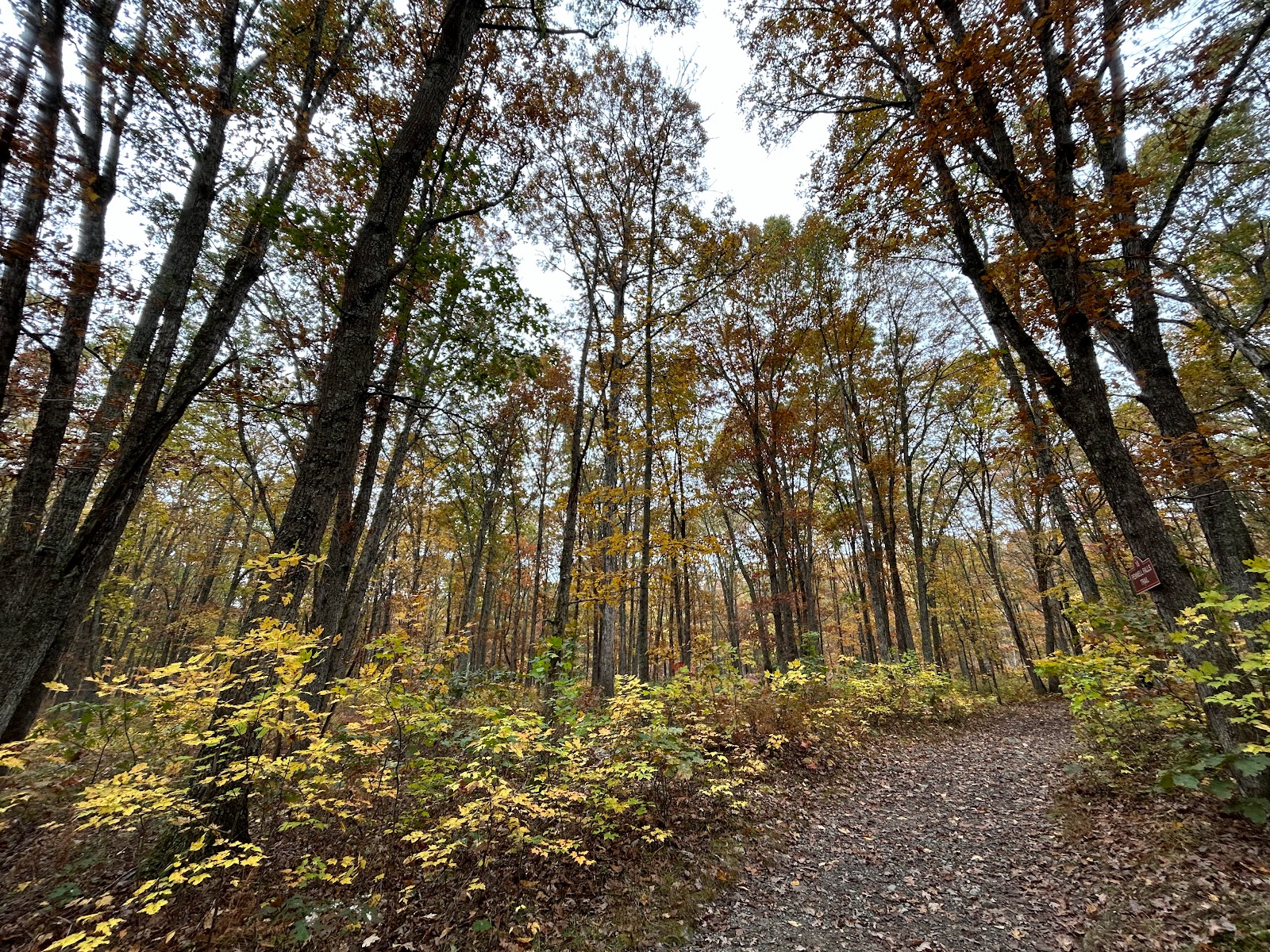
The leaves were gorggggg this time of year! 


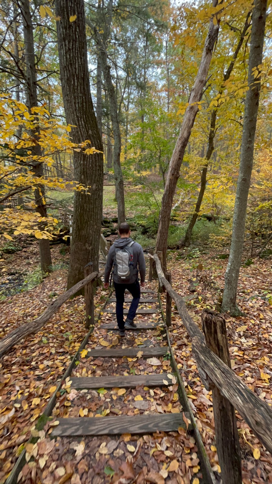
Then we came back down the blue trail; this was longer but not as difficult. Deff tiring to your legs doing all the eccentric lowering downhill. Some waterfalls towards the bottom right before you hit the parking lot to end your hike. The trails are very well marked.


Parking:
Park and leave your car at the Dunnfield Creek parking lot. You’ll want to get there early because it fills up quickly
  • Parking lot, Hardwick Township, NJ 07832; Wherever you end up parking, it will be a short walk to the trailhead at the Dunfield Creek Natural Area Trailhead.
  • CoordinatesN40.97213° W75.12592°
  • Dunnfield Creek Natural Area, I-80, Columbia, NJ 07832. 
    • Route 80 West to just before the last exit in New Jersey (exit 1). On the right is a brown sign for Dunnfield Creek Natural Area.
  • There’s the first parking lot, then a larger main lot. The exit road is one way so you can’t backtrack to a passed lot unless you get back onto Rt 80 and come around. 
    • The first lot has a sign that it’s for picnickers (not true. Its for anyone and everyone!)…so we drove past this lot, to the 2nd lot, (which says its for hikers) But it was full. And we couldn’t very easily get back to the first lot, bc its a 1-way on a highway. Hahahah oh fun. 
  • If both the first and main lots are full, try the parking area at the Kittatinny Point visitor center and walk back to the trailhead in the main lot (~about a 10 min walk).
    • Kittatinny Point Visitor Center: Head back out onto Rt. 80 from the Dunnfield lot and take the very next exit right, Exit 1 towards Millbrook/Flatbrookville. Then make a sharp left like you are going to go around to 80 E, but instead of merging onto 80, immediately head to the right into the visitor center on River Road.
    • Kittatinny point visitor center is on the other side of the highway. It’s a lot of getting on and off the highway using weigh stations to turn around. 
    • Ideally, you want to park at Dunnfield Creek Natural area, the side of the highway near Mt Tammany. Kittatinny Point Visitor Center is on the side of the other highway that has the river. We had to park here bc we went late in the day, and the lot was already full. You simply follow the signs and other ppl to walk under the highway to get to the trailhead. Not a lot of sidewalks…so be careful!

Kittatinny Point Visitor Center 

Kittatinny Point Visitor Center 

Kittatinny Point Visitor Center 

Getting started on the trail:
  • Once on the correct side of the highway to hike: NOTE: At the far end of the main lot is the start of another trail. People often mistake this as the trail to the summit of Mount Tammany. If you immediately cross a bridge over a creek, you are not on RED DOT but are on the Appalachian Trail (WHITE) which leads to Dunnfield Creek (GREEN).
    • While Mount Tammany can be reached from the BLUE trail off of Dunnfield Creek (GREEN) (and is the return route of this hike), people are usually looking to do the RED DOT trail up to the top of Mount Tammany. You want to find a sign for the RED trail, at the entrance to the parking lot (either the 1st or 2nd lot). Don’t just start hiking until you confirmed you are on the correct trail, bc you want to go UP the red trail, not down. The picture below really helps:


If you are looking more for the waterfalls, check out the other 3 hikes listed above. However, this was our favorite actual "hike" <3


Saturday, February 17, 2024

Bushkill Falls (Delaware Water Gap)

Bushkill Falls

This is a snippet from a longer blog post I created, about a weekend trip to the Poconos for Matt's birthday. Included is an Airbnb we rec, wineries, places to eat, and 4 hikes. Here is the original blog post.


1st hike: Raymondskills Falls

2nd hike: Hackers Falls

3rd hike: Bushkill Falls

4th hike: Mt Tammany


Black is research done prior to the trip; purple is what we learned from our trip.


Instagram post


Bushkill Falls: (this is about 27 min from the Airbnb; about 23 min from the parking lot of Tammany, & on the way to Hackers Falls and Raymondskill falls) 


Known as the "Niagara of Pennsylvania," Bushkill Falls features a series of eight waterfalls and several hiking trails. The main loop offers an easy hike that takes you to all the major waterfalls.

  • I guess it’s a “hike” but its very well maintained. Like there are wooden or stone man-made steps with railings put in everywhere. So instead of a rock scramble, its steps to and from everywhere. Pretty even flat walking path. Small children were doing it.


Location: Bushkill Falls Rd & US-209, Lehman Township, PA 18302

Doesn’t open until 9am!
  • We had planned to go here first, but were thrown for a loop when the entrance gait was locked with a sign on it saying it doesn’t open until 9am lol

Price:
  • Bushkill Falls is found on private property and a small entrance fee is charged to walk these trails and view the breathtaking scenery. Since this is privately owned, Bushkill Falls does not receive any local, state, or federal money for upkeep.
    • I thought a small fee would be $5….when we went it was $20 per person. More than I thought it would be, but still worth it. Awesome place! Just a heads up so you have $$. They take credit cards. 

Waterfalls: 
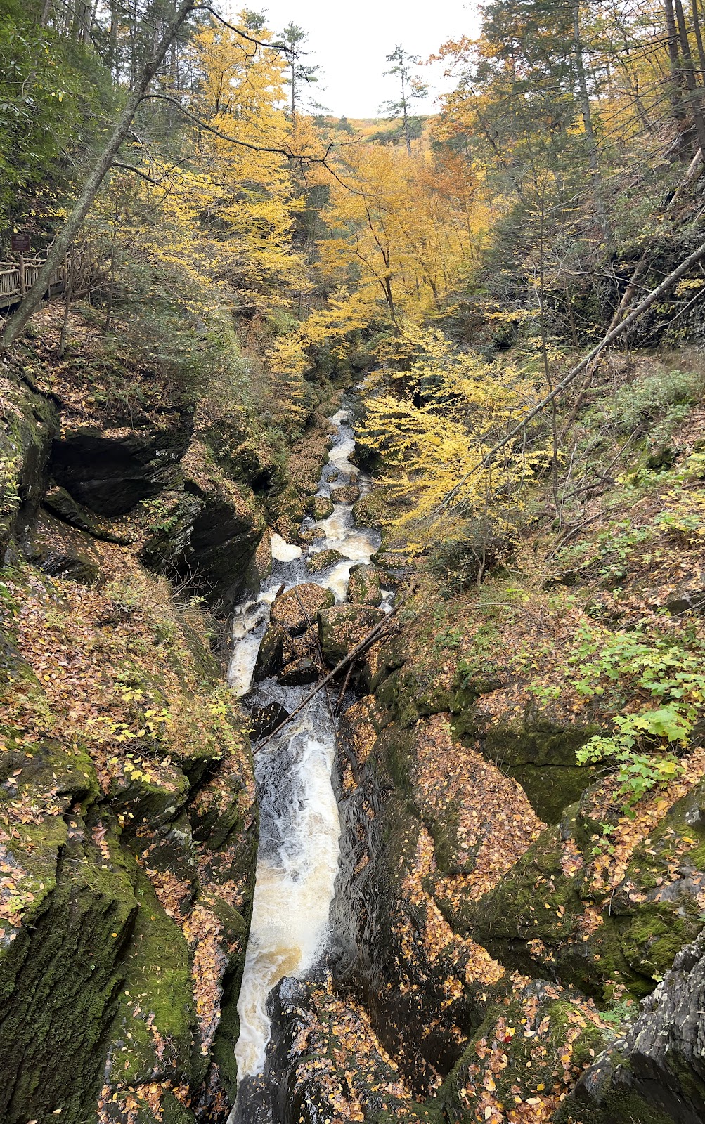
Bushkill Falls boasts a series of eight stunning waterfalls, each with its unique charm. The main falls, known as the Main Falls, cascade about 100 feet (30 meters) down a rocky cliff, creating a spectacular sight. Visitors can also explore other named waterfalls like Bridesmaid's Falls, Laurel Glen Falls, and Pennell Falls, among others.

Trails: 
  • The park offers a network of well-maintained hiking trails that wind through the Pocono Mountains. There are four main hiking trails of varying lengths and difficulty levels:
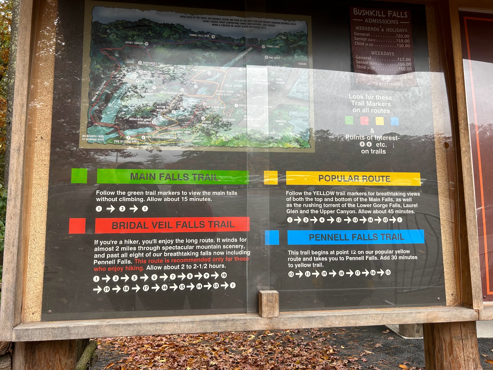
    • "Green Trail (Viewing Platform Trail): This is the shortest and easiest trail, suitable for all ages and abilities. It leads to an observation platform where you can view the Main Falls from a distance. View the Main Falls from the green trail, which takes about 15 minutes to walk. No climbing is involved, however, there are steps."
    • "Yellow Trail (The Falls Trail): This moderate trail is the most popular and provides access to all eight waterfalls. It offers a closer and more immersive experience of the falls and the surrounding natural beauty. View the Main Falls, as well as Lower Gorge Falls, Laurel Glen and Upper Canyon, which takes 45 minutes to walk."
    • "Blue Trail (The Gorge Trail): This is the longest and most challenging trail, suitable for more experienced hikers. It takes you deeper into the gorge, offering unique perspectives of the waterfalls and rugged terrain. View Pennell Falls from the blue trail, which takes approximately 1 hour and 15 minutes to walk."
    • "Red Trail (The Upper Gorge Trail): This trail offers a different vantage point and a quieter experience away from the crowds. It is a good option for those seeking a more peaceful hike. View Bridal Veil Falls from the Red trail. This trail is for the avid hiker in that it spans almost 2 miles, includes all eight falls, and takes over 2 hours to hike."
      • Don’t be intimidated by the signs for the red trail when starting. It says something like “only for avid hikers” and “people who like to hike” lol. Yeah people not in the right shoes or can’t go for a long walk, or do steps should defer from this, but it’s really not a hike. More a walk? It’s do-able for the average active healthy person! I would hate for ppl to miss out on this path bc the signage made them fearful.

Ok so! The park lady helped us with this! 


When you go in the entrance and down the path to the “starting point,” go right on the red/yellow/blue trail, towards Pennell Falls. 


Here is our step by step guide for which route to take:
1: entrance to falls
15: Adams Flats
17: Pennell Falls
18: Pennell Falls Trail
19: Peter's Corner
Cont on the red path labeled Bridal Veils Falls Trail, the outer most trail, to number 7
You might think you missed 10, 9, and 8...but don't worry, you hit all of these on that outermost Bridal Veil Falls Trail. And the best part? It's DOWNHILL!
7: View of lower gorge and explore around the yellow trail a little bit before hitting up 
5: Bridge over lower gorge falls
4: Bottom of Main Falls
12: Top of Main Falls
11: Delaware Valley Lookout

the lookout

the lookout

the lookout

The reason you want to do this route, is to avoid going up LOTS of stairs. At the end, on the yellow trail, steps are inevitable. But you'll see coming back on the red trail, you will go DOWNHILL, while ppl struggle going up A LOT of stairs. It was the best tip she gave us. 

Next up: Mt Tammany

Half a Day in Little Wild Horse Canyon

Little Wild Horse Canyon (1/2 a day) This was our 5th stop of our Mighty 5 Roadtrip . While not a National Park, it was not a park to miss! ...