Mt Tammany
This is a snippet from a longer blog post I created, about a weekend trip to the Poconos for Matt's birthday. Included is an Airbnb we rec, wineries, places to eat, and 4 hikes. Here is the original blog post.
1st hike: Raymondskills Falls
2nd hike: Hackers Falls
3rd hike: Bushkill Falls
4th hike: Mt Tammany
Black is research done prior to the trip; purple is what we learned from our trip.
Mount Tammany Trail (11 min from airbnb)
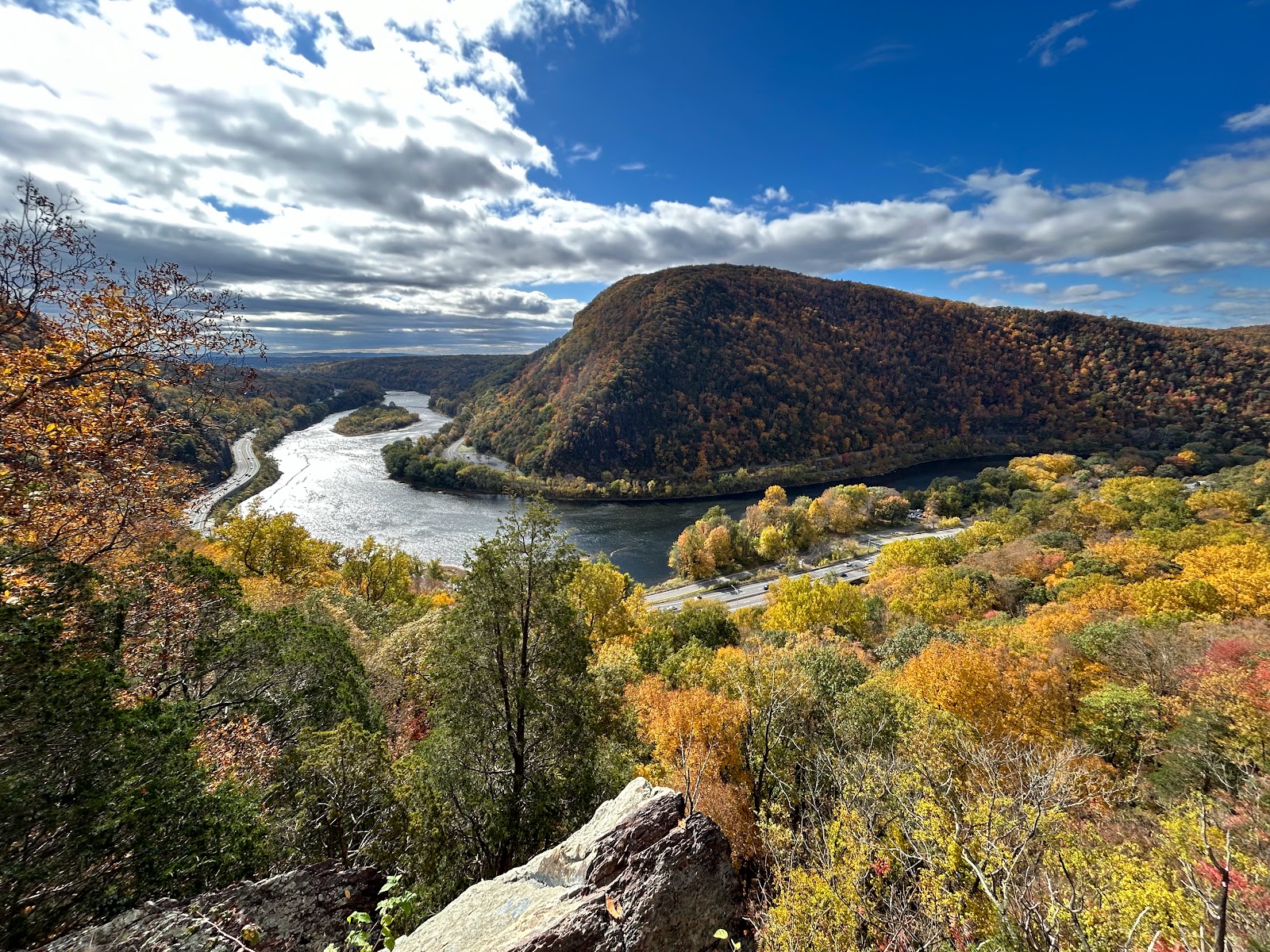
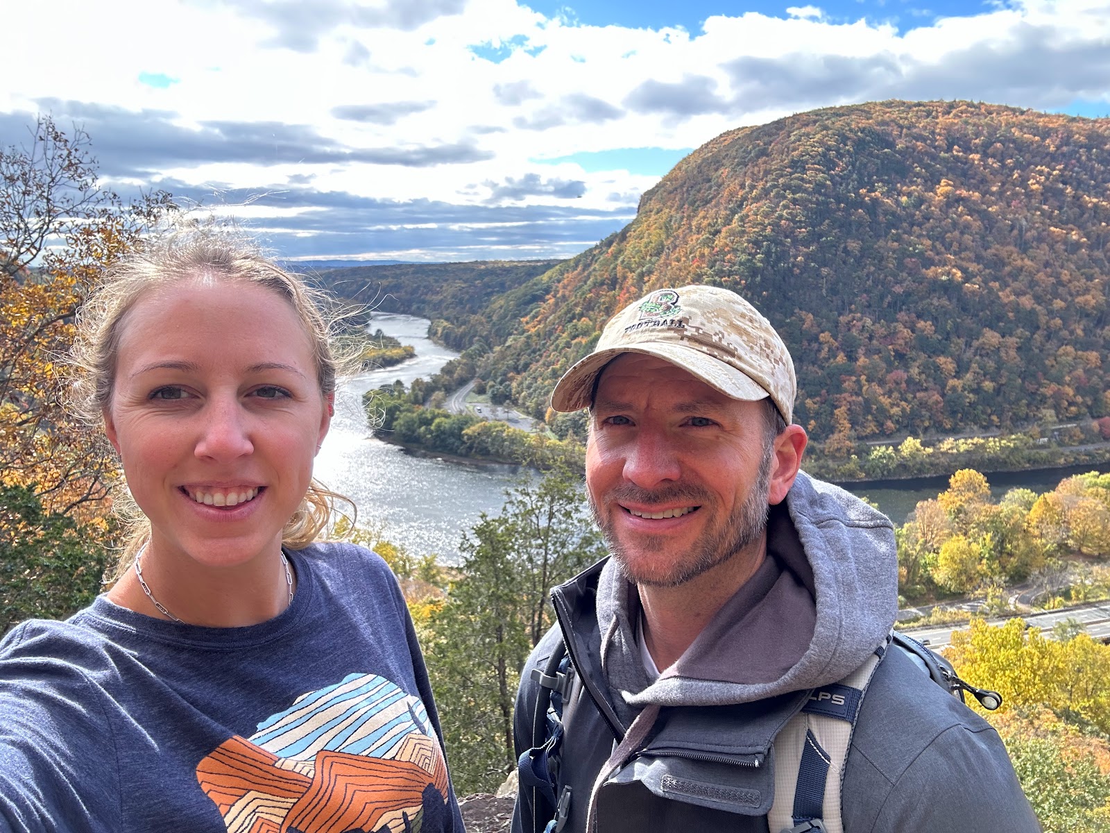
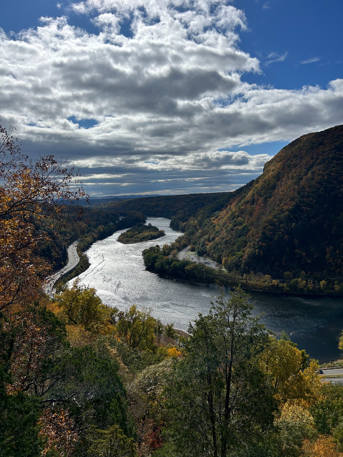
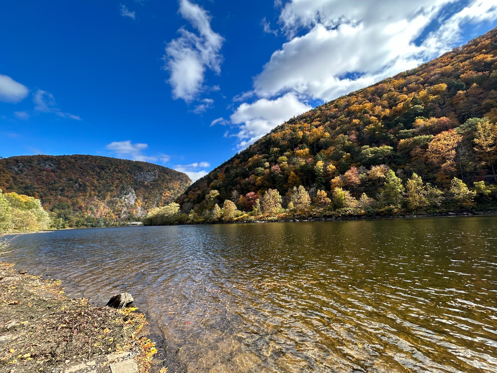
"This is one of the most popular and rewarding hikes in the area. It offers two primary routes: the Red Dot Trail (steep and direct) and the Blue Dot Trail (a bit longer but less steep). Both trails lead to the summit of Mount Tammany, providing breathtaking views of the Delaware Water Gap, the river, and the surrounding mountains."
- Parking lot, Hardwick Township, NJ 07832; Wherever you end up parking, it will be a short walk to the trailhead at the Dunfield Creek Natural Area Trailhead.
- Coordinates: N40.97213° W75.12592°
- Dunnfield Creek Natural Area, I-80, Columbia, NJ 07832.
- Route 80 West to just before the last exit in New Jersey (exit 1). On the right is a brown sign for Dunnfield Creek Natural Area.
- There’s the first parking lot, then a larger main lot. The exit road is one way so you can’t backtrack to a passed lot unless you get back onto Rt 80 and come around.
- The first lot has a sign that it’s for picnickers (not true. Its for anyone and everyone!)…so we drove past this lot, to the 2nd lot, (which says its for hikers) But it was full. And we couldn’t very easily get back to the first lot, bc its a 1-way on a highway. Hahahah oh fun.
- If both the first and main lots are full, try the parking area at the Kittatinny Point visitor center and walk back to the trailhead in the main lot (~about a 10 min walk).
- Kittatinny Point Visitor Center: Head back out onto Rt. 80 from the Dunnfield lot and take the very next exit right, Exit 1 towards Millbrook/Flatbrookville. Then make a sharp left like you are going to go around to 80 E, but instead of merging onto 80, immediately head to the right into the visitor center on River Road.
- Kittatinny point visitor center is on the other side of the highway. It’s a lot of getting on and off the highway using weigh stations to turn around.
- Ideally, you want to park at Dunnfield Creek Natural area, the side of the highway near Mt Tammany. Kittatinny Point Visitor Center is on the side of the other highway that has the river. We had to park here bc we went late in the day, and the lot was already full. You simply follow the signs and other ppl to walk under the highway to get to the trailhead. Not a lot of sidewalks…so be careful!
- Once on the correct side of the highway to hike: NOTE: At the far end of the main lot is the start of another trail. People often mistake this as the trail to the summit of Mount Tammany. If you immediately cross a bridge over a creek, you are not on RED DOT but are on the Appalachian Trail (WHITE) which leads to Dunnfield Creek (GREEN).
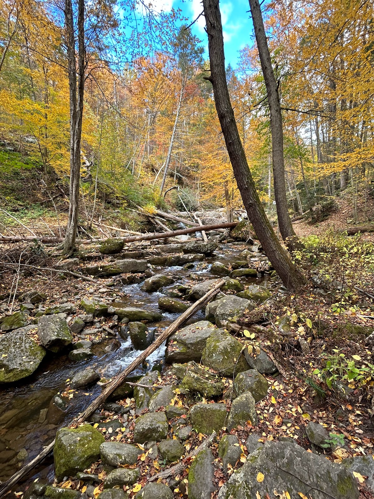
- While Mount Tammany can be reached from the BLUE trail off of Dunnfield Creek (GREEN) (and is the return route of this hike), people are usually looking to do the RED DOT trail up to the top of Mount Tammany. You want to find a sign for the RED trail, at the entrance to the parking lot (either the 1st or 2nd lot). Don’t just start hiking until you confirmed you are on the correct trail, bc you want to go UP the red trail, not down. The picture below really helps:








No comments:
Post a Comment